HELPING YOU PLAN WITH PURPOSE
We can help you make optimum use of pipe network models to develop gas and water supplies.
Computer models that realistically map pipeline networks and consumption structures provide a sound basis for far-reaching planning and investment decisions. That’s why we can offer additional services in this field, whether we developed your original pipe network model or not. Our experts are on hand to carry out systematic design and capacity calculations that take full account of your anticipated sales trends. They can also identify the likely impact of ‘wheeling’ services provided under transmission contracts.
The effects of a possible ‘biogas injection’ can also be examined and evaluated. Mapping an ideal network based on a target network design completes our current range of services.
On the basis of these calculations, we can then present you with specific recommendations on where and how your supply grid should be optimised to make it fit to meet the growing challenges.
PLANNING THE FUTURE: OPTIMISING NETWORKS
Network optimisation is used to reflect how gas supplies are expected to develop in a gas supply area over the coming years.
Open Grid Europe therefore determines anticipated gas transportation requirements as a basis for changes to the network such as reduced pipeline dimensions, a smaller number of district regulators or shutdown of transportation routes.
Another aspect of optimisation is selective network expansion to accommodate demand arising from development projects. Open Grid Europe is pursuing a consistent network optimisation strategy as a reliable basis for its network adjustment and rehabilitation measures.
PREPARING FIRE MAINS MAPS
We determine the capabilities of your water grid with regard to the provision of fire water.
An important aspect of water supply system design is the provision of water for fire-fighting purposes.
We will perform spot check calculations from a building security point of view and/or determine the maximum possible fire water withdrawal volumes for all hydrants (fire mains map) in accordance with DVGW Code of Practice W 405.
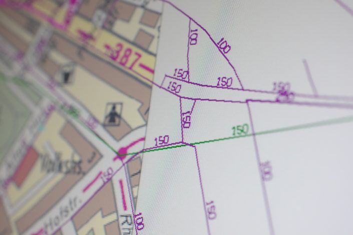
This will provide you with a plotted grid map showing each hydrant as a colour symbol (as per the DVGW fire water categories). This map will show the capabilities of your water grid with regard to the provision of fire water. If you are already using a grid calculation tool (STANET, OptiPlan, etc.), the fire mains diagram can, of course, also be shown on screen.

